A log of hikes around Washington state.
Aug 11, 2026
Distance: 5.0 mi · Elevation gain: 1600 ft · Drive: ~1.5 hr
Near: Skykomish, WA
WTA
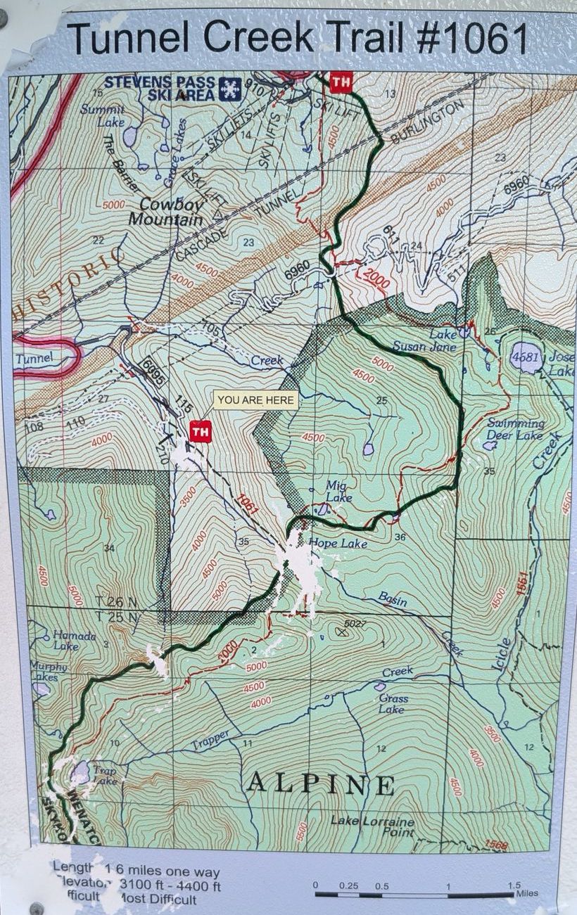
This is a really nice hike out near Skykomish, WA along highway 2. I’ve done it at least three times now. You hike up a nicely wooded ravine at a decent slope until you meet Hope Lake about 1.5 miles in. You can stay there or continue further to Mig Lake another mile further. They are small and quiet lakes. This trail is along the PCT so you usually see thru-hikers on long treks. There are often berries along the trail to snack on.
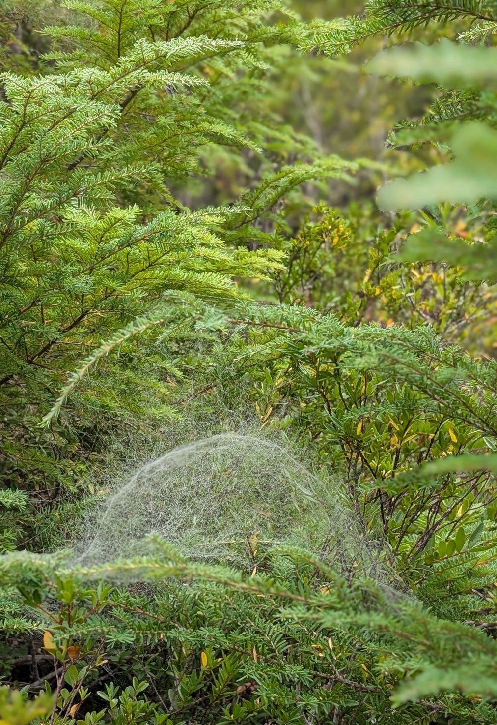
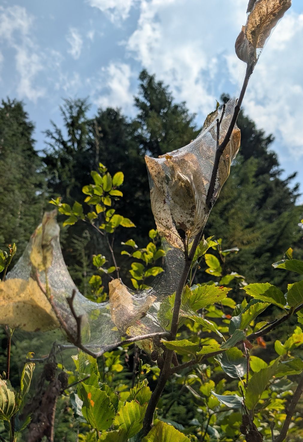
On this day, when I arrived there was dew everywhere and that reveals hundreds of the most amazing spiderwebs. They built upside-down domes inside of trees to trap bugs. Later in the day the webs were completely invisible, I know, I searched for them. There were also lots of branches encased in other types of webs that seemed to hold insect eggs of some sort.
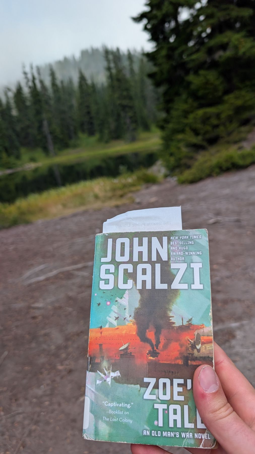
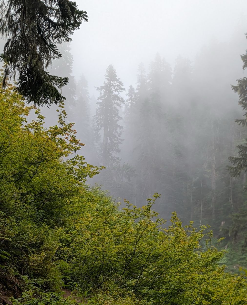
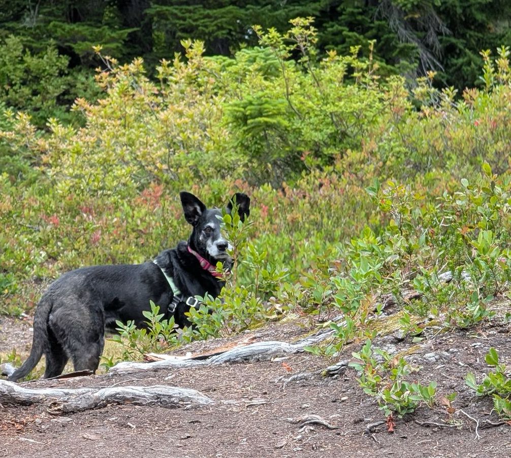
The day was beautfiful and felt like a fall hike. Parts of it felt like I was in a cloud but it cleared and warmed towards the end. Ate lunch up at Mig lake and read a bit while Sammy sniffed all the things. I hiked this one with just Sammy and myself. It was so quiet.
Jun 29, 2026
Distance: 4.0 mi · Elevation gain: 900 ft · Drive: ~1.5 hr
Near: Sultan, WA
WTA
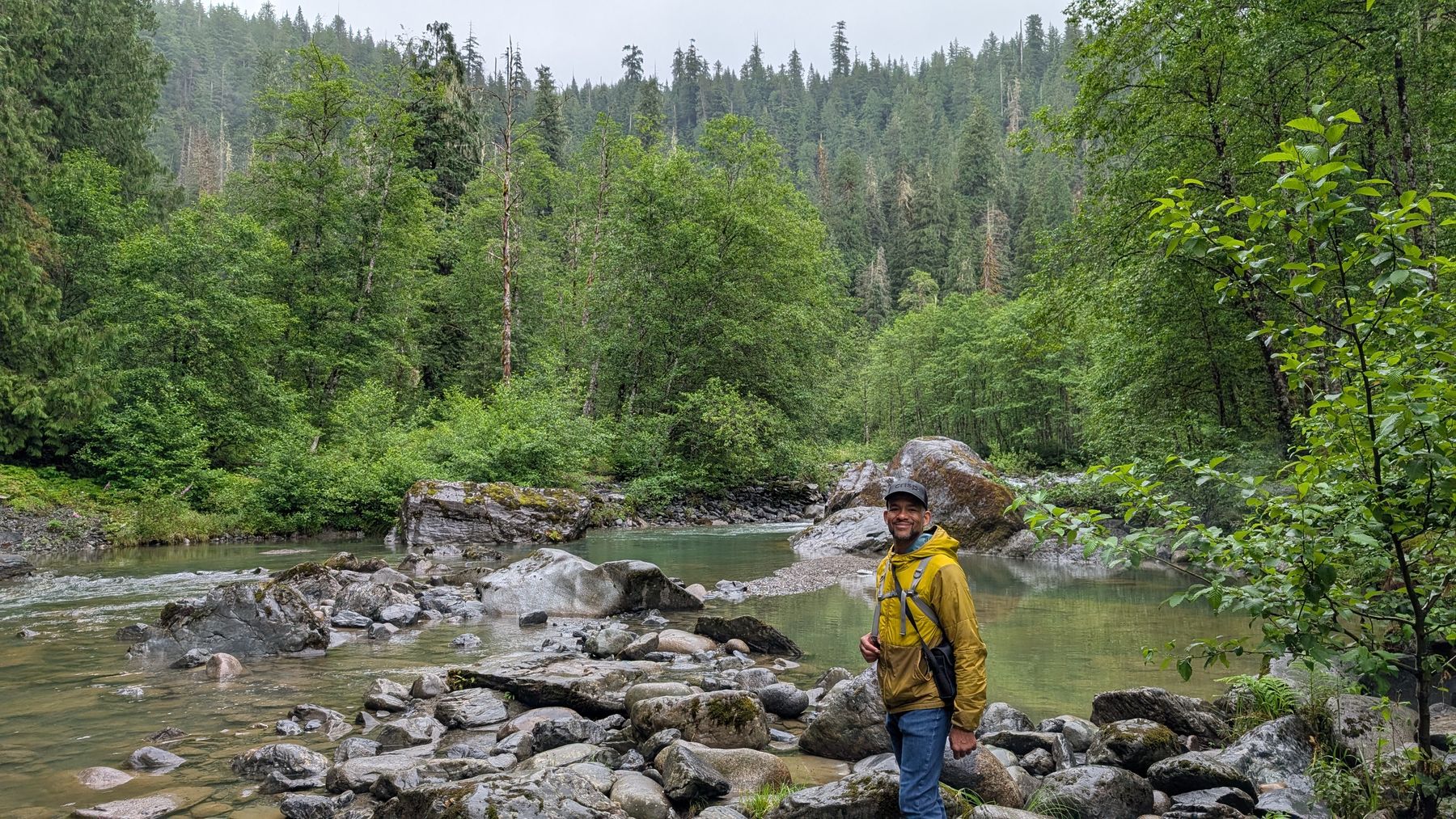
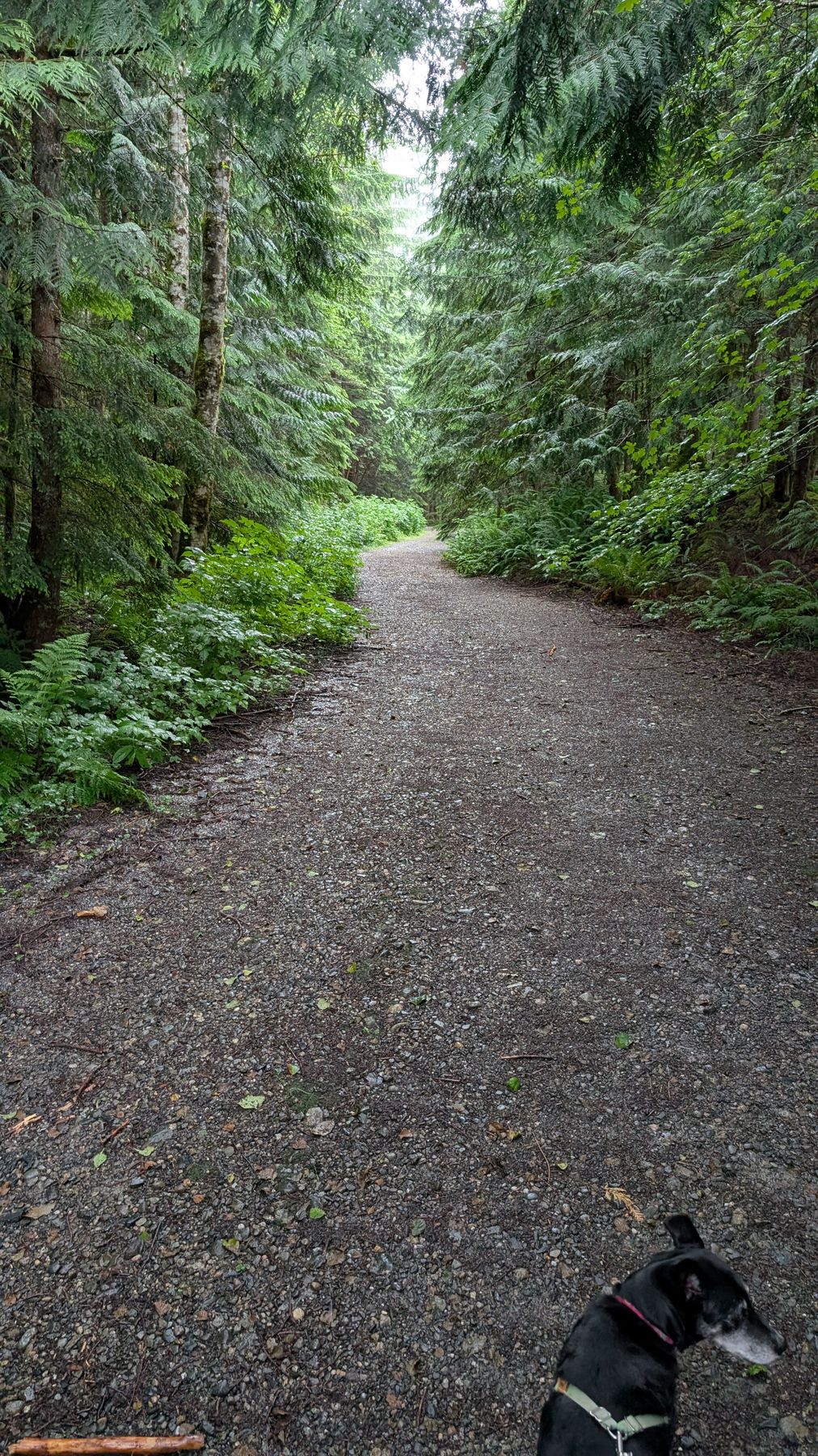
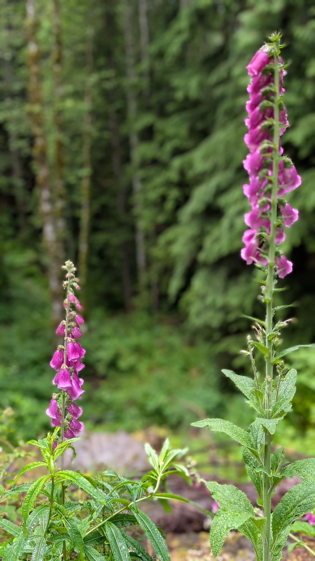
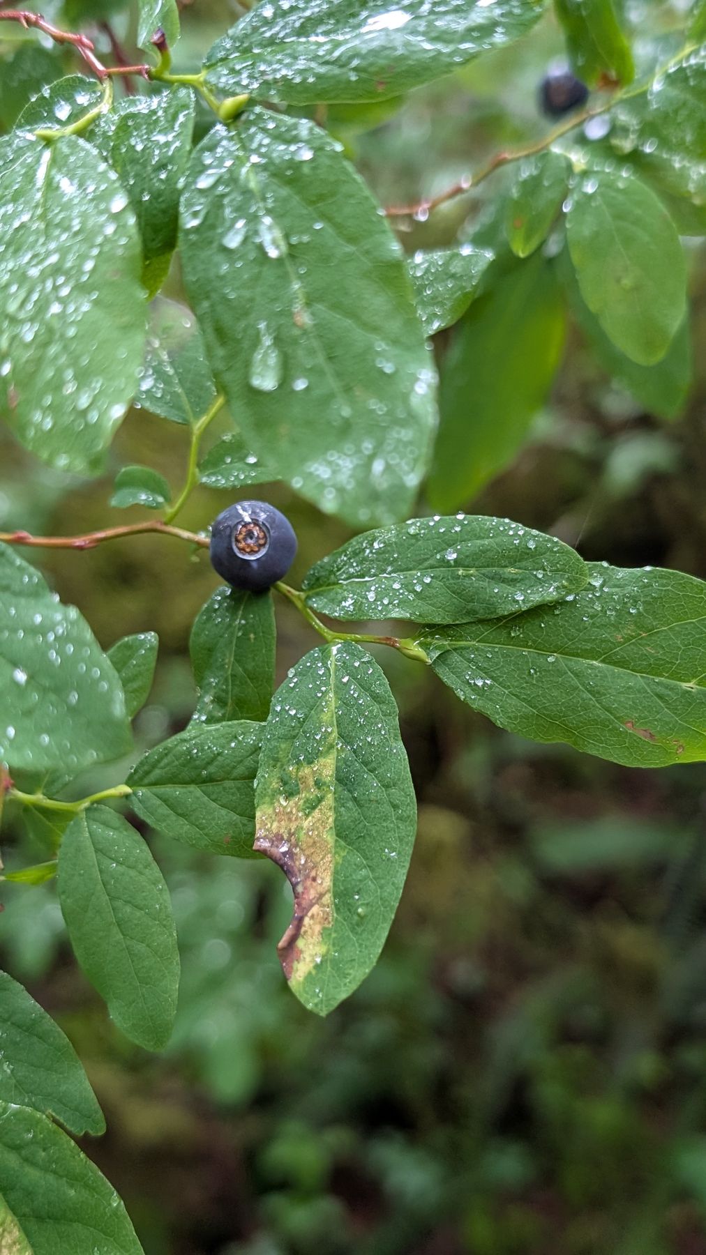
This is a small hike near Sultan, WA. The area is controlled by the Snohomish County Public Utility District and is the water supply for Everett. It was a wet cool day in June when we did this hike. It starts off going up a very well-tended forest road and then crests and starts going down after about 0.5 miles. There were small waterfalls and wildflowers on the way. At a mile there is a juncture with a sign and a trashcan. You can continue on the forest road but the Sultan River Trail actually goes off to the right down a ridge towards the river. After this point you’re on a hiking path winding down through beautiful forest. Lots of waterfalls and ripe huckleberries and salmonberries as you go down. There were an incredible amount and variety of slugs on the way too. A mile along this path you hit the river where there are some nice views and areas to eat lunch. That’s it, short and sweet.
Sep 30, 2023
Distance: ~6.5 mi · Elevation gain: 1,200 ft · Drive: ~2 hr
Near: Index, WA · Pass: Northwest Forest Pass
WTA
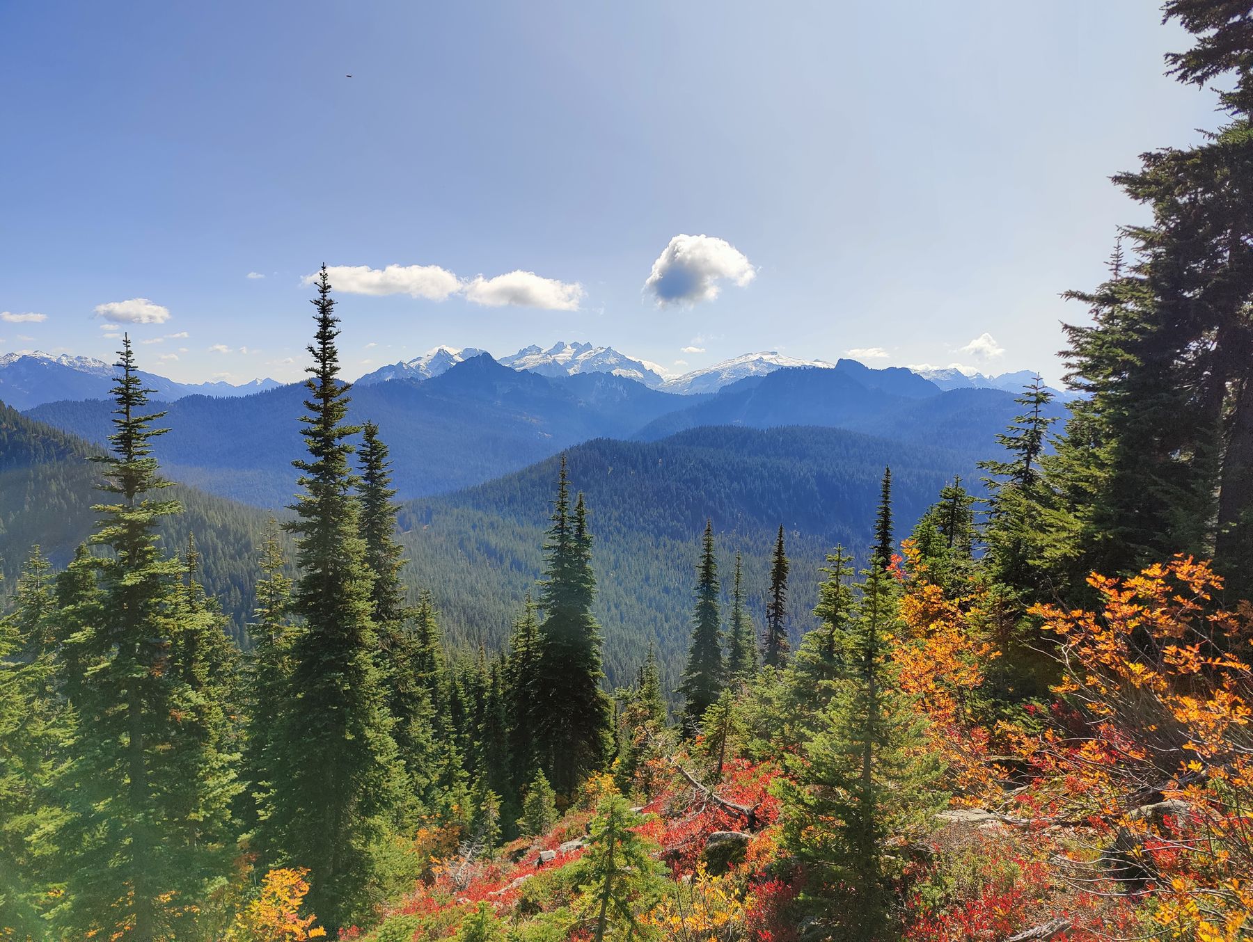
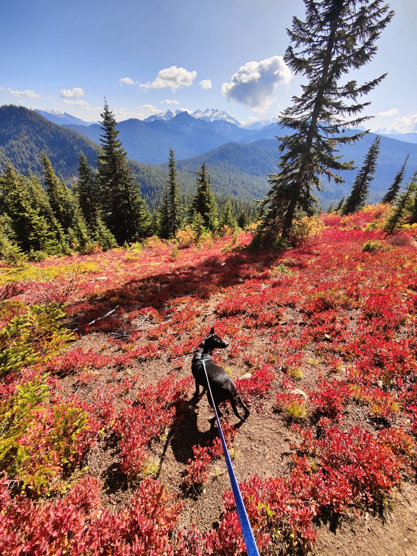
We picked this one for the fall colors and weren’t disappointed. The trail climbs through dense forest before opening onto a long ridgeline with sweeping views of the Cascades in every direction. The huckleberry bushes had all turned deep red and the whole ridge was on fire with color.
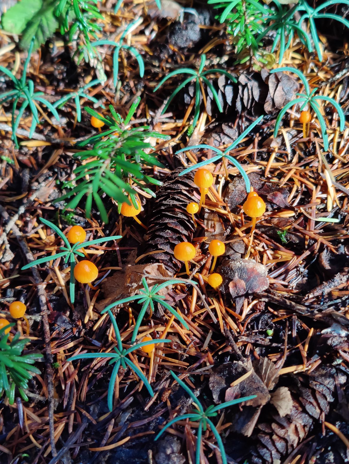
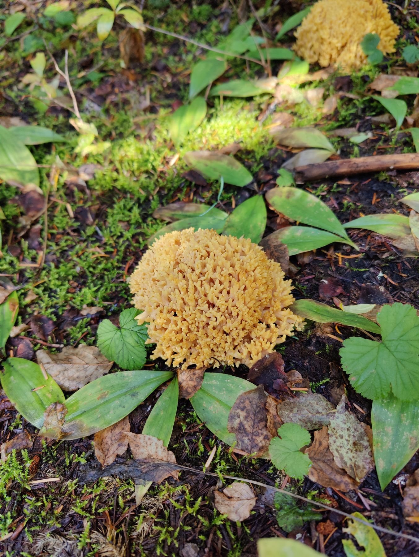
The forest on the way up was full of mushrooms — an embarrassment of fungi at every step.
Once we broke out of the trees the views opened up fast. On a clear September day you could see all the way to the Cascades spine — snowcapped peaks above a sea of red and gold.

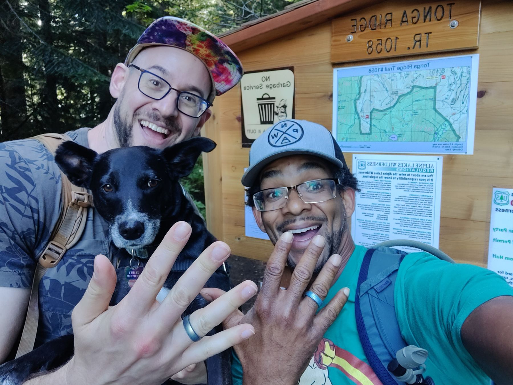
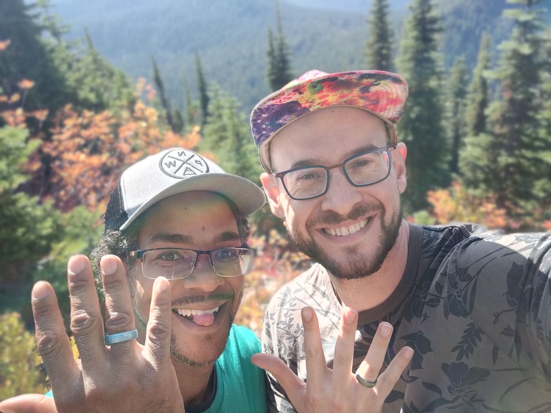
And then at the top, I proposed. Jamel said yes.
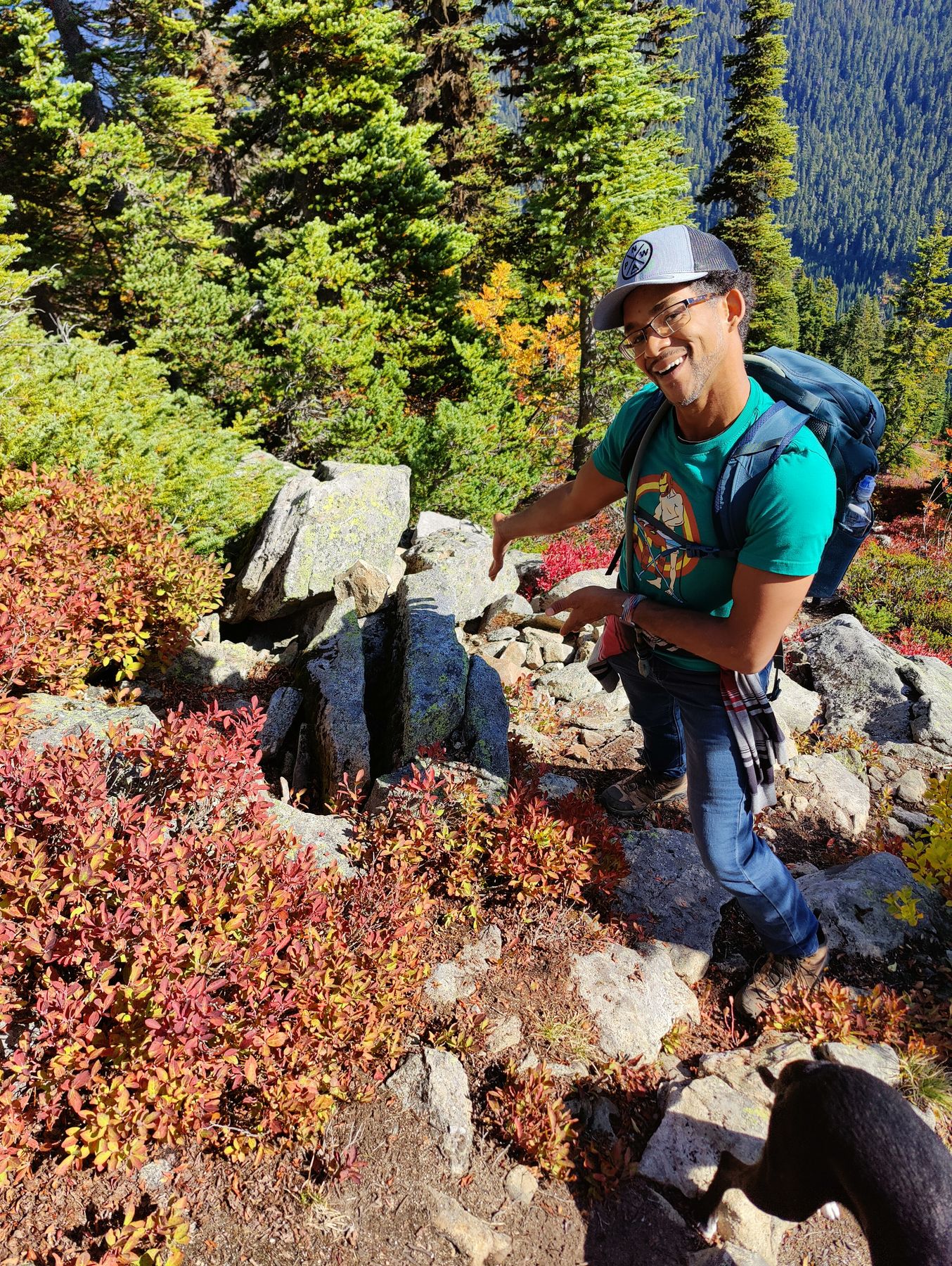
WTA lists this as 8 miles but it’s noticeably shorter — closer to 6.5. The trailhead is easy to find off US-2 past Skykomish. Northwest Forest Pass required. Go in late September when the huckleberries turn.